

09-27-2015, 12:36 PM
A few shots from what's left of the former LNE Lehigh Gap Bridge. That's what was there until the late 60's, now there is a nature trail that takes you right to the eastern side of where the bridge connected with the mountain. ![[Image: 737363ad980cac9b24d0b4262f8de840.jpg]](http://slatington.ctevans.net/project/archive/files/737363ad980cac9b24d0b4262f8de840.jpg)
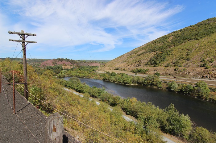
In the center of this shot you can see the concrete pillars of the west side of where the bridge crossed the Leigh river. There is a trail that leads to that side of the bridge, so I will have to check that out soon.
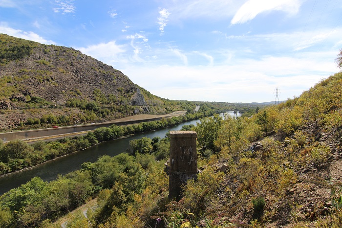
Here's a view of the river of either side of the river. The only one Pillar is still standing on this side of the bridge.
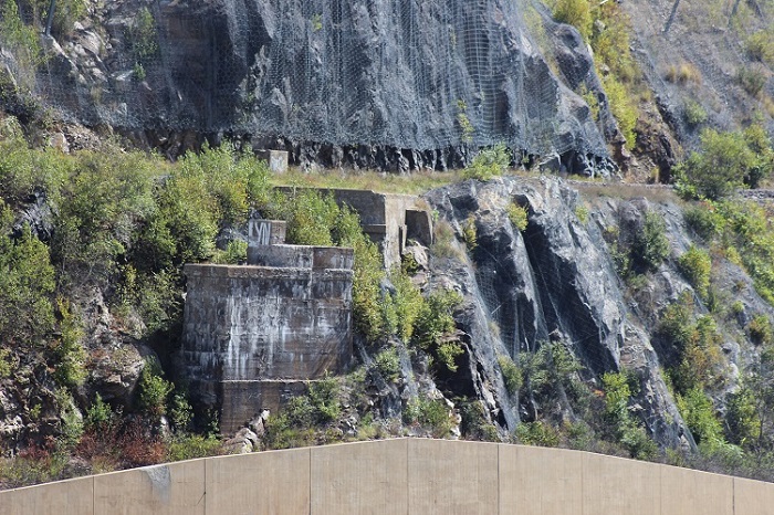
The path on this side of the river is the former Delaware and Hudson ROW. In the trees next to it, is the toe path for the Lehigh Coal & Navigation Canal. On the far side of the river Is former CNJ trackage now operated by NS.
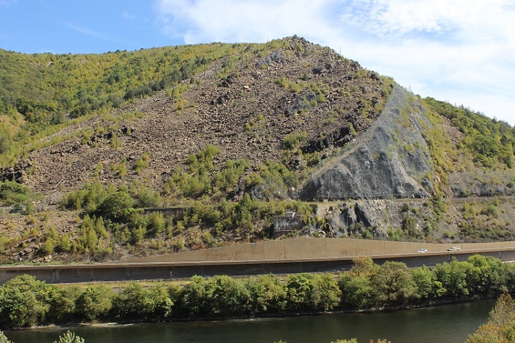
In the center of this shot you can see the concrete pillars of the west side of where the bridge crossed the Leigh river. There is a trail that leads to that side of the bridge, so I will have to check that out soon.
Here's a view of the river of either side of the river. The only one Pillar is still standing on this side of the bridge.
The path on this side of the river is the former Delaware and Hudson ROW. In the trees next to it, is the toe path for the Lehigh Coal & Navigation Canal. On the far side of the river Is former CNJ trackage now operated by NS.
My other car is a locomotive, ARHS restoration crew